- This event has passed.
Tour DeFred
July 18, 2020 @ 9:30 am - 2:00 pm
Event Navigation

This event is for BMWCCA Members Only
Only the curious need apply for the Tour de Fred
Ever been curious about what it is like to see the Columbia River Gorge from the other side of the river? Your chance to do just that is right around the corner.
Start your drive in your ultimate driving machine via The Gateway to the Gorge from Vancouver/Camas/Washougalon HWY 14 and travel east to the starting point. To get there, take either the Interstate 5 or 205 bridge across the Columbia and head east along SR 14, also called the Lewis and Clark Scenic Byway. About 10 miles into the drive is Cape Horn, a basalt cliff outcropping that is a great place to pull over for the gorgeous (pun intended) view. About 9 miles farther is Beacon Rock State Park, which is named for the famed 850-foot-high basalt volcanic plug. Then, it is onward to our meeting place Bonneville Locks and Dam
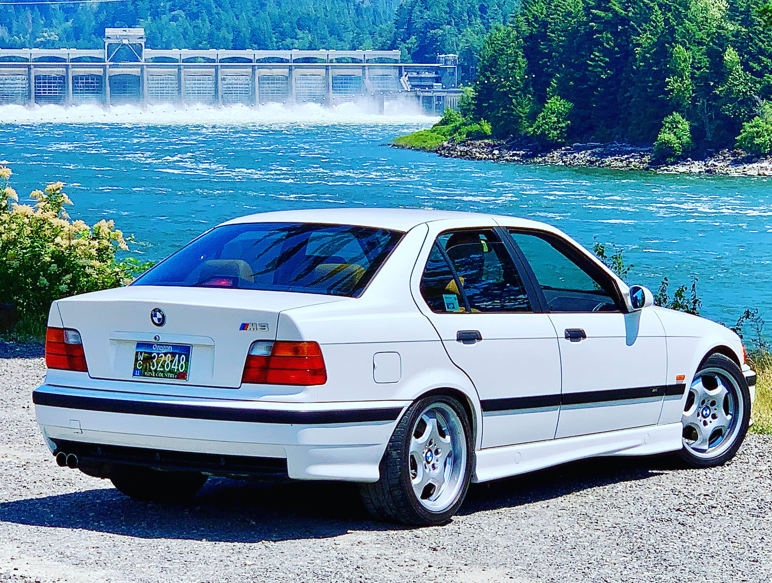
We will meet at 9:30 am at Bonneville Locks and Dam near the Fort Cascades Trailhead. The meeting spot is just before the Dam on the right. Input Fort Cascades Trailhead into google maps.
The drive will start at Bonneville Dam and continue east on Scenic HWY 14, all while offering great views of Oregon from the Washington side of the Gorge, before turning inland along the Klickitat River toward Mount Adams, then looping back along the White Salmon River toward the Gorge. Along the way, you will pass breathtaking viewpoints, take on a series of tunnels, and lean into the curves of the road. In addition to the lovely Columbia River Gorge, canyons, wildflower-covered mountain meadows, and higher-elevation forests await.
The Tour turns inland along the Klickitat River along Highway 142. As the Tour continues inland, the center stripe in the road disappears, as the road opens up to canyons and higher-and-dryer mountain meadows. Cellphone service is spotty here, so be sure to your beloved Bavarian Motor Works machine is in top condition before taking this drive; this would be a bad place to break down.
Then we go west toward Mount Adams. On a clear day, the mountain looms ahead on the road, occasionally ducking behind a stand of higher-elevation trees before coming once again into view. In 13 miles farther, there is a place to stop, take in the Klickitat River Valley, and take a selfie with Mount Adams before we get back on the road toward Glenwood, where there is a general store that offers a public restroom and a place to pick up a snack and something to drink.
Just outside Glenwood, the Tour turns southwest, running through forested areas and past farms and wetlands along the White Salmon River. At BZ Corner, the Tour turns south as it heads back toward the Gorge. At the fork in the road in Hasam, we’ll take the downhill turnoff to Highway 141 Alt to head back toward SR 14 to Underwood to end the approximately three-hour tour.
At this point, you can turn west, back toward Vancouver and Portland, or turn east, covering a little bit of familiar ground, to get to the Hood River (Oregon) toll bridge to get back to Interstate 84 — bring along $2 if you want to get across the river here — and have lunch in Hood River, or head back home along I-84. Either way, the drive and the views along the Tour are going to be spectacular.]
So what are you waiting for? Sign up for the Tour de Fred today!
* Bring: Lunch, unless you’re going to stop in Hood River, OR, or in one of the many eateries on the way back home *after* the tour concludes. $2 if you plan to cross the Hood River toll bridge to come back to Oregon. If you choose to cross at the Bridge of the Gods near Cascade Locks, OR, the toll is also $2. If you want to skip tolls completely, take SR 14 back to Interstate 5 or 205 and cross the Columbia River there.
PLEASE NOTE:
- All drivers MUST be pre-registered and a current BMWCCA member
- Face Masks are required while outside of vehicles during the event.
- Drivers and passengers should stay with their cars and must practice social distancing protocol at all times.
- All drivers and passengers MUST sign the electronic waiver prior to the event
- Registration is limited to 30 cars
We will have a Drivers’ meeting at 9:45 AM to explain the route and safety rules, then head out shortly thereafter.
Please remember to thank the volunteers that help to put these events on. They are working hard to make this a great event for all, meeting the challenges presented during this pandemic.
Let’s all have fun and be safe.
